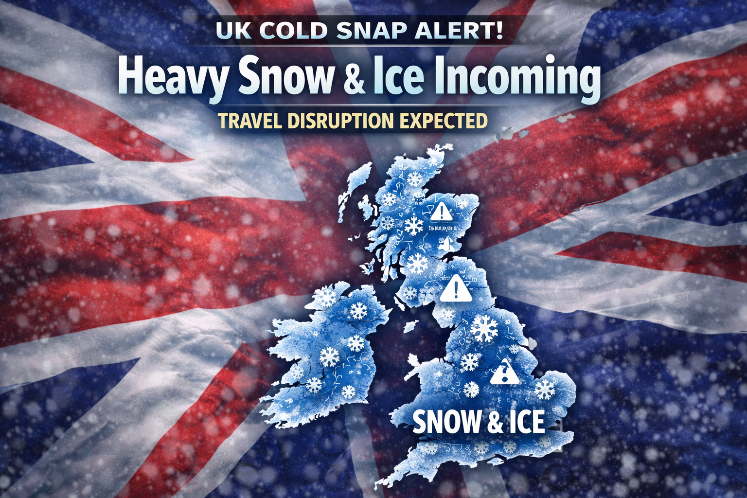
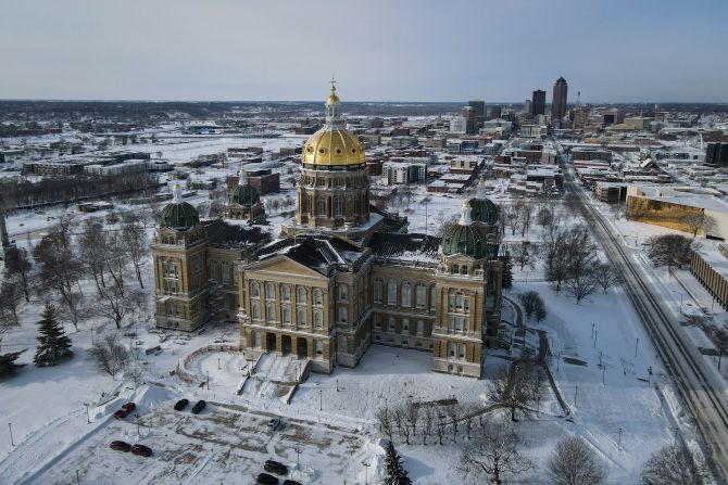
Large parts of the UK are set to experience a sharp return to winter conditions as a New Year cold snap brings snow, ice, and freezing temperatures. Forecasters warn that the shift to colder air will increase the risk of hazardous travel, icy pavements, and local disruption, particularly during the early morning and overnight hours.
Cold Arctic air is moving south across the country, replacing milder Atlantic weather and allowing wintry showers to develop. While not every area will see heavy snowfall, even small amounts combined with sub-zero temperatures could lead to widespread ice and difficult conditions.
Snow and ice warnings in focus
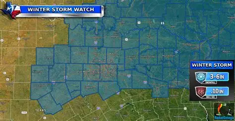
According to forecasts from the Met Office, snow and ice are expected to affect multiple regions as the New Year begins. The highest risk is focused on northern parts of the UK, where colder air is well established and snow showers are more frequent.
An amber-level warning has been highlighted for parts of northern and eastern Scotland, where heavier and more persistent snowfall is possible, particularly over hills and higher routes. Elsewhere, yellow warnings cover large parts of England, Wales, Northern Ireland, and southern Scotland, mainly due to the risk of ice and intermittent snow.
Forecasters stress that even where snowfall is light, freezing temperatures overnight can quickly turn wet roads and pavements icy, creating dangerous conditions for commuters and pedestrians.
Areas most likely to be affected
The impact of the cold snap will vary by location, but several regions stand out as being particularly vulnerable:
-
Scotland: Northern and eastern areas are most at risk of heavier snow, drifting in strong winds, and prolonged icy conditions. Rural and higher-altitude routes may be especially difficult.
-
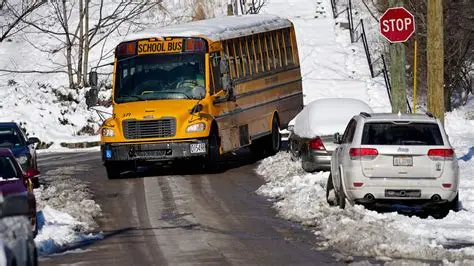
Northern England: Parts of the North East, North West, and Yorkshire could see snow showers followed by widespread frost and ice.
-
Wales: Snow is more likely on higher ground, but icy patches could develop widely, even in lower-lying areas.
-
Midlands and southern England: Snow risk is lower, but icy roads and pavements are likely during the mornings.
-
Northern Ireland: Wintry showers and freezing nights could lead to local travel disruption.
New Year snow and ice outlook by region
| Region | Peak risk period | Expected conditions | Main impacts |
|---|---|---|---|
| Northern & eastern Scotland | Friday to Saturday | Heavy snow on hills, strong winds, drifting | Road closures, travel delays, difficult driving |
| Southern & western Scotland | Thursday to weekend | Snow showers, sharp frosts | Icy roads, local disruption |
| Northern England | Friday mornings | Snow showers, widespread ice | Slower commutes, accidents |
| Midlands | Early Friday | Patchy snow, freezing fog, ice | Hazardous roads and pavements |
| Southern England | Overnight to early mornings | Frost and ice, isolated sleet | Slips, travel delays |
| Wales | Friday morning | Snow on high ground, ice elsewhere | Disruption on rural routes |
| Northern Ireland | Late Thursday night | Wintry showers, frost | Difficult driving conditions |
Day-by-day breakdown
Thursday:
Colder air spreads across the UK, with temperatures falling sharply overnight. Snow showers are most likely in northern Scotland, while frost becomes widespread elsewhere. Winds increase in coastal and northern areas, making it feel even colder.
Friday:
This is expected to be the most disruptive day for many regions. Snow showers become more widespread, particularly across Scotland, northern England, and Wales. In southern areas, the main issue will be ice, especially during the morning commute. Even brief bursts of snow could reduce visibility and lead to sudden travel problems.
Saturday:
Cold conditions continue, with further snow showers possible in northern and eastern areas. Many places will see another hard frost overnight, allowing icy patches to linger well into the day, particularly on untreated surfaces.
Sunday and early next week:
The cold snap shows signs of persisting, with below-average temperatures, frequent frosts, and occasional wintry showers. Any thaw during daylight hours could refreeze overnight, prolonging icy conditions.
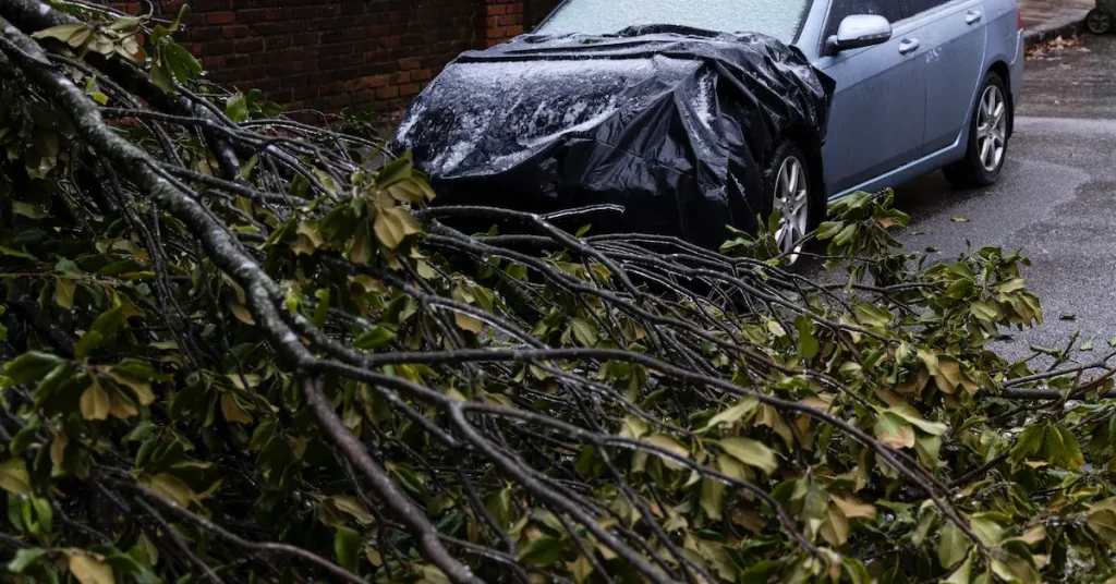
Why ice may be the biggest danger
While snowfall often grabs headlines, ice is expected to be the most widespread and dangerous hazard during this cold snap. After sunset, temperatures are forecast to drop quickly, allowing melted snow and rain to refreeze.
Drivers are urged to take extra care on:
-
side streets and rural roads,
-
bridges and flyovers,
-
shaded areas where sunlight does not reach.
Pedestrians are also at higher risk, particularly during early mornings when pavements may look wet but are actually frozen.
Cold weather health risks
The cold snap is not only a travel concern. Prolonged low temperatures can pose serious health risks, particularly for vulnerable groups. The UK Health Security Agency has highlighted increased risks during extended cold spells, especially for older people and those with existing health conditions.
Cold weather can worsen heart and breathing problems, increase the risk of falls, and put pressure on household heating budgets. Checking in on vulnerable neighbours and relatives during the coldest days can make a real difference.
How to prepare and stay safe
With winter conditions returning, small preparations can help reduce risk:
-
Check weather forecasts and warnings before travelling.
-
Allow extra time for journeys and expect delays.
-
Keep a winter kit in your car, including warm clothing, a torch, and a phone charger.
-
Wear shoes with good grip to reduce the risk of slipping.
-
Keep homes warm and protect pipes from freezing.
What to expect next
Forecasters say there is growing confidence that cold conditions will dominate the early part of the New Year. While snowfall amounts may vary from place to place, the combination of freezing temperatures, ice, and occasional snow showers means winter hazards are likely to remain a feature for several days.
For many people, the key message is to stay alert and prepared. Even areas that avoid heavy snow could still face dangerous icy conditions, particularly during the busiest travel times. As the New Year begins, winter is making its presence felt across the UK once again.
FAQs: UK New Year Snow and Ice Cold Snap
Will it snow everywhere in the UK during the New Year cold snap?
No. Snow is most likely in northern and eastern areas, especially Scotland, northern England, and higher ground in Wales. Southern parts of England are more likely to see frost and ice rather than widespread snowfall.
Which parts of the UK are at highest risk of disruption?
Northern and eastern Scotland face the highest risk due to heavier snow and strong winds. Other regions may still see disruption from ice, particularly during early mornings and overnight periods.
When will snow and ice be at their worst?
The greatest risk is expected between Thursday night and Saturday, with Friday morning likely to be the most disruptive for commuters due to snow showers and widespread ice.
Is ice more dangerous than snow in this cold snap?
Yes. Ice is expected to be more widespread than heavy snow. Even areas that avoid snowfall could experience dangerous icy roads and pavements, especially on untreated surfaces.
Will travel be affected?
Travel disruption is possible across many regions. Roads, rail services, and local transport may experience delays, particularly in areas hit by snow or overnight freezing temperatures.
Could schools or services be affected?
Localised closures are possible, especially in areas with heavier snowfall or persistent ice. Decisions are usually made at a local level based on conditions.
How cold will temperatures get?
Night-time temperatures are expected to fall below freezing in many areas, with some rural spots dropping several degrees below zero. Daytime temperatures will also remain below average.
How long is the cold snap expected to last?
Current forecasts suggest cold conditions could persist for several days into the New Year, with repeated frosts and occasional wintry showers.
Who is most at risk during this cold weather?
Older people, those with heart or breathing conditions, and individuals living alone are more vulnerable during prolonged cold spells. Extra care and regular check-ins are advised.
What can I do to stay safe during snow and ice?
Plan journeys carefully, allow extra travel time, wear footwear with good grip, keep homes warm, and check on vulnerable friends or neighbours during the coldest days.


Leave a Comment