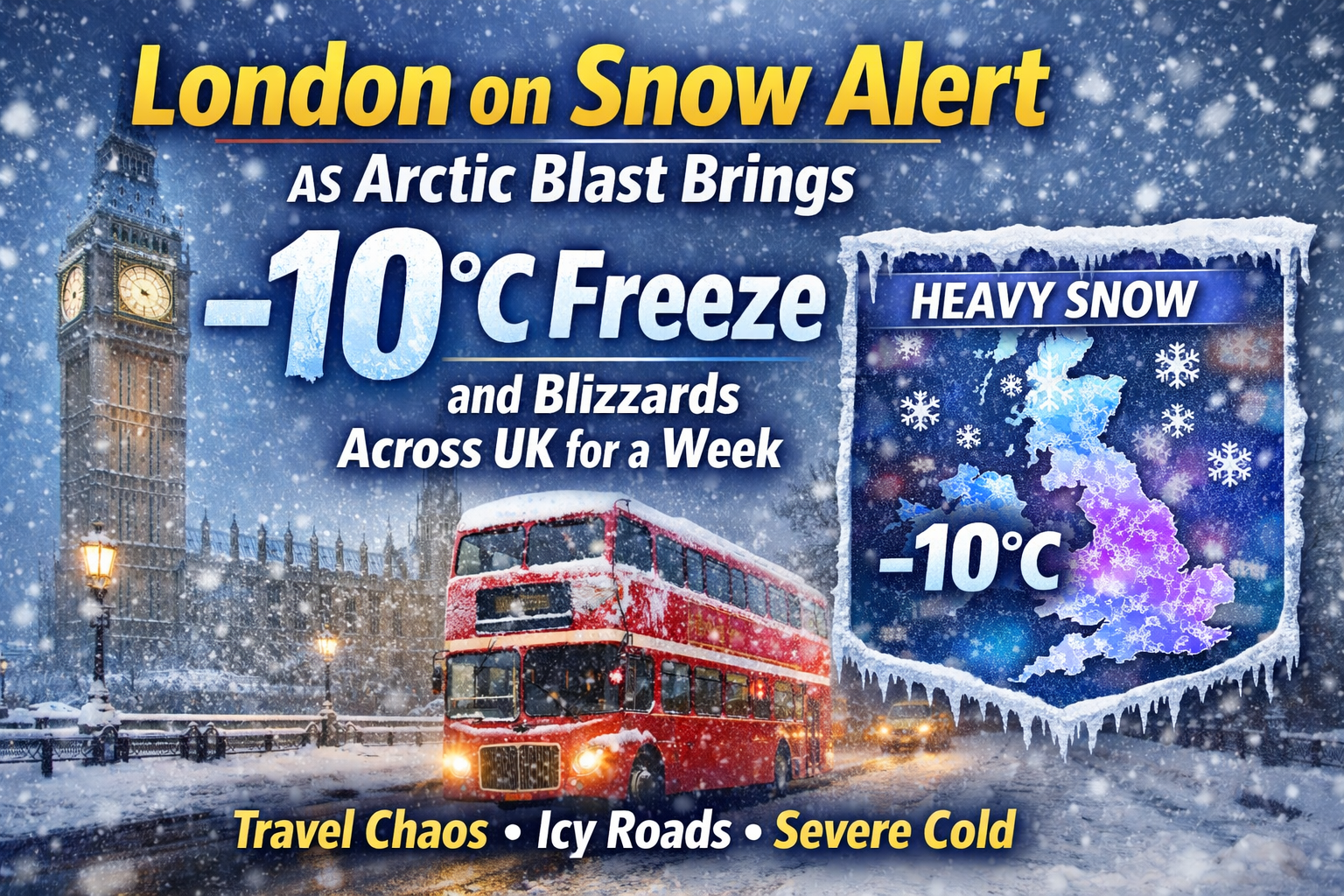
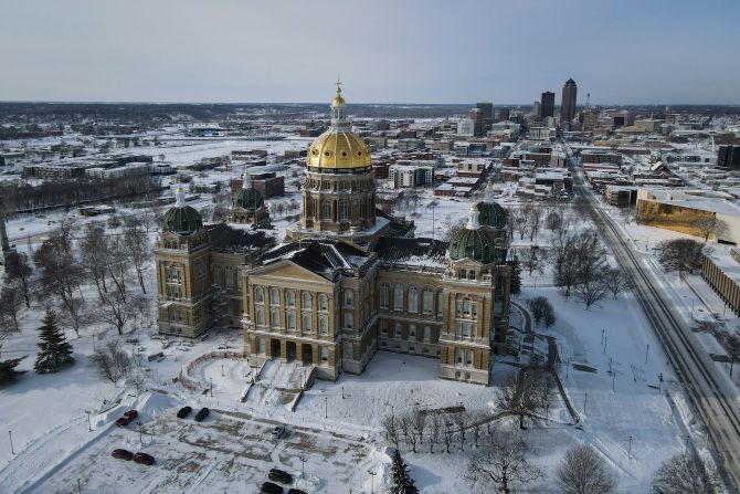
London and large swathes of the UK are bracing for a prolonged spell of severe winter weather as an Arctic blast sweeps south, bringing the coldest conditions of the season so far. Forecasters warn of sub-zero temperatures, blizzard conditions, icy roads, and widespread travel disruption as cold air tightens its grip for up to seven days.
The Met Office has issued multiple weather warnings, including snow and ice alerts for southern England, with London firmly in the risk zone. Overnight temperatures could plunge to -10°C in parts of England and Scotland, while daytime highs struggle to rise above freezing.
Arctic Air Mass to Lock the UK Into Deep Freeze
Meteorologists say the cold snap is being driven by a powerful Arctic air mass descending from northern Scandinavia, amplified by a blocked weather pattern over Europe. This setup is preventing milder Atlantic air from reaching the UK, allowing freezing conditions to persist far longer than a typical winter cold spell.
Unlike short-lived snow events, this system is expected to stall, keeping icy air over the country well into next week. Snow showers will be frequent, with heavier bands capable of turning into blizzards, particularly across higher ground and exposed regions.
Temperature outlook at a glance
| Region | Overnight Lows | Daytime Highs | Risk Level |
|---|---|---|---|
| London & South East | -5°C to -7°C | 0°C to 2°C | High |
| Midlands | -6°C to -8°C | -1°C to 1°C | Very High |
| Northern England | -8°C to -10°C | -2°C to 0°C | Severe |
| Scotland | -10°C or lower | -3°C to -1°C | Extreme |
| Wales | -6°C to -8°C | -1°C to 1°C | High |
Snow Warning for London: What to Expect
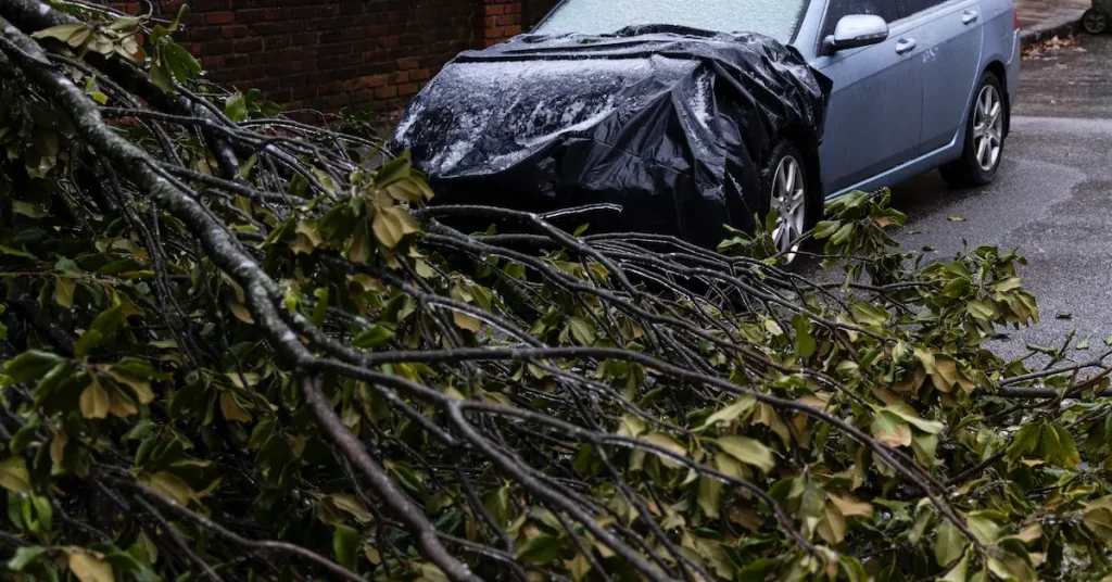
Snowfall in London is notoriously disruptive, and this event could be particularly challenging. Forecast models suggest intermittent snow showers, with heavier bursts possible as colder air deepens.
Even light snow could quickly lead to icy pavements and untreated roads, increasing the risk of accidents and delays. Commuters are urged to plan ahead, as conditions could deteriorate rapidly during the morning and evening rush hours.
Key impacts expected in London include:
-
Slippery roads and pavements
-
Bus delays and reduced services
-
Rail speed restrictions due to ice on tracks
-
Airport disruption, especially early morning flights
Blizzards and Whiteout Conditions in Parts of the UK
While southern England faces snow and ice, northern England, Scotland, and upland Wales are likely to see the most severe conditions. Strong winds combined with heavy snowfall may produce blizzard conditions, reducing visibility to near zero.
Drifting snow could block rural roads, leaving some communities temporarily cut off. Mountain rescue teams and local authorities are already preparing for potential emergencies.
Travel Disruption: Roads, Rail and Flights at Risk
Transport networks across the UK are expected to be under sustained pressure throughout the week.
Roads
National Highways has warned that icy conditions could develop quickly after sunset. Black ice will be a major hazard, particularly on bridges and untreated roads.
Rail
Train operators may impose speed restrictions to reduce the risk of accidents. Frozen points and ice buildup on overhead lines could cause delays and cancellations, especially during early mornings.
Air Travel
Airports in London and the Midlands may face de-icing delays. Passengers are advised to check flight status before traveling and allow extra time for airport procedures.
How Long Will the Arctic Blast Last?
Current forecasts suggest the cold spell will persist for at least seven days, with only limited signs of a thaw toward the end of the week. Even then, temperatures are expected to remain below average, and any milder air could bring further snow as it clashes with the entrenched cold.
Weather experts caution that small shifts in wind direction could significantly affect snowfall totals, meaning forecasts may change at short notice.
Health Risks as Temperatures Fall to -10°C
Extended cold weather poses serious health risks, particularly for older adults and those with pre-existing conditions. Public health officials are urging people to:
-
Keep homes adequately heated
-
Check on elderly neighbors and relatives
-
Avoid unnecessary travel during icy conditions
-
Wear appropriate winter clothing outdoors
Frozen pipes and burst water mains are also a concern as temperatures remain below freezing for consecutive nights.
Schools and Local Services on Alert
Local councils are monitoring the situation closely. School closures are possible if snowfall intensifies or roads become unsafe. Gritting teams are working around the clock, but persistent snow could overwhelm resources in some areas.
Waste collection and other local services may also face disruption, particularly in hard-hit regions.
What Happens Next?
Forecasters are keeping a close eye on whether Atlantic weather systems will eventually break through. Until then, the UK remains locked in a prolonged Arctic grip, with winter hazards expected to dominate daily life.
Residents are advised to stay informed, follow official guidance, and prepare for rapidly changing conditions as the coldest week of the winter unfolds.
Frequently Asked Questions (FAQ)
Will London definitely see snow?
Snow is likely at times, though exact amounts remain uncertain. Even light snowfall could cause significant disruption.
How cold will it get in the UK?
Temperatures could drop to -10°C or lower in northern regions, with widespread sub-zero nights elsewhere.
Is this the coldest weather so far this winter?
Yes, this Arctic blast is expected to be the coldest and most prolonged cold spell of the season.
When will conditions improve?
Some moderation is possible after a week, but cold conditions may linger beyond that.
Bottom line: London and the entire UK are facing a week-long Arctic blast with dangerous cold, snow, and widespread disruption. Preparation and caution will be key as winter tightens its grip.


Leave a Comment