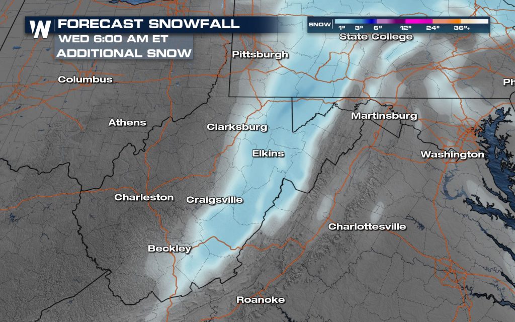
As a winter storm moves across the Mid-South, forecasters are zeroing in on one hazard above all others: freezing rain.
It does not take much. A thin glaze of ice can turn roads slick, weigh down trees and power lines, and trigger power outages that linger long after the precipitation ends.
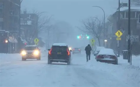
Weather alerts stretch across parts of Tennessee, Arkansas, Mississippi and nearby states. In many of those places, the concern is not how much snow might fall, but whether rain freezes on contact when temperatures hover just below freezing — especially overnight.
That distinction matters. Freezing rain behaves differently than snow or sleet, and the impacts can escalate quickly.
Key facts at a glance
| Event | Location | Timing | Who is affected | Current status | What to know |
|---|---|---|---|---|---|
| Winter storm with freezing rain | Mid-South | Ongoing | Residents, commuters, utilities | Active | Ice is the primary risk |
| Ice accumulation | TN, AR, MS, KY | Overnight into Sunday | Drivers, power crews | Possible | Light icing can still cause outages |
| Travel impacts | Roads, bridges | Through the storm | Motorists | Elevated | Black ice likely |
| Power outage risk | Region-wide | Storm duration | Homes, businesses | Increased | Ice adds weight to lines and trees |
What makes freezing rain so dangerous
Freezing rain forms when liquid rain falls through a shallow layer of cold air near the surface. The droplets freeze instantly when they hit the ground.
That instant freeze is the problem.
Unlike snow, which builds gradually and offers at least some traction, freezing rain creates a smooth, nearly invisible layer of ice. Roads can look wet while being dangerously slick. Bridges and overpasses freeze first and stay icy longer.
The National Weather Service has long warned that freezing rain is among the most disruptive forms of winter weather, even when ice amounts are measured in tenths of an inch.
“A tenth of an inch doesn’t sound like much, but it’s enough to make driving hazardous and start stressing trees and power lines,” said a meteorologist with the National Weather Service office in Memphis. “Once you get closer to a quarter inch, impacts can increase quickly.”
How freezing rain compares to snow and sleet
Snow piles up. Sleet bounces and often crunches under tires.
Freezing rain clings.
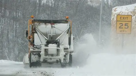
Ice bonds tightly to pavement, sidewalks and power lines. Plows cannot scrape it away the way they can snow, and salt becomes less effective as temperatures drop.
That makes cleanup slower and travel riskier. It also puts infrastructure at risk. Ice accumulates fast, adding weight to tree limbs and power lines until they sag or break.
“When ice sticks to everything, it doesn’t take long for outages to start,” said Mark Rose, a utility operations manager in west Tennessee. “Heavy snow can cause problems, but ice is what really brings trees down onto lines.”
Why the Mid-South is especially vulnerable
The Mid-South often sits on the edge of the freezing line during winter storms. A small change in temperature — sometimes just a degree — can determine whether precipitation falls as rain or freezes on contact.
That margin makes forecasting difficult and increases the risk of surprise impacts.
“A degree or two can be the difference between a nuisance rain and a serious ice event,” the National Weather Service has said in past ice storm briefings.
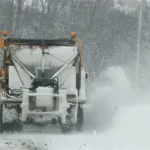
The region also has fewer snow and ice response resources than northern states. When freezing rain hits, recovery can take longer, especially in rural areas.
How ice storm impacts typically unfold
Before the storm
Temperatures hover near freezing. Rain begins while roads and bridges remain cold.
During freezing rain
Ice builds rapidly on surfaces. Travel can become hazardous within minutes.
After precipitation ends
Problems often worsen. Ice-laden trees continue to fall, and power outages may increase even after the rain stops.
Recovery phase
Melting is slow if cold air lingers. Cleanup and power restoration can take days.
Public reaction: concern over roads and power
Across the Mid-South, residents are watching forecasts closely and adjusting plans.
Local message boards and traffic groups are filled with questions about bridge conditions, early-morning commutes and whether schools or offices might close. Many districts base closure decisions on ice risk rather than snow totals.
Utilities have pre-staged crews in areas most likely to see icing, anticipating that even light accumulations could cause problems.
Official warnings and safety guidance
Weather offices across the region are emphasizing that freezing rain requires a different response than snow.
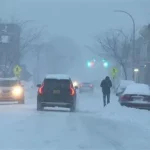
Emergency managers are urging people to avoid unnecessary travel if ice develops, especially overnight. Drivers who must be on the roads are advised to slow down, increase following distance and avoid sudden braking.
Officials also recommend charging electronic devices, keeping flashlights handy, and having a plan in case power is lost.
“Freezing rain is one of the most dangerous winter hazards we deal with,” said a spokesperson for the Tennessee Emergency Management Agency. “If you can stay off the roads, that’s the safest option.”
What happens next as the storm moves through
As warmer air pushes in, freezing rain may change to plain rain in some locations. That can limit additional icing, but it does not erase earlier damage.
Downed trees, blocked roads and power outages may linger well after temperatures rise above freezing. Flooding can also become a concern as ice melts and runoff increases.
Forecasters say surface temperatures remain the key factor to watch. Even slight changes will determine whether rain freezes on contact.
Frequently asked questions
Why is freezing rain worse than snow?
It creates a solid layer of ice that causes dangerous driving conditions and damages infrastructure.
How much ice is dangerous?
As little as 0.10 inches can make roads slick. Around 0.25 inches can lead to power outages.
Does freezing rain look like snow?
No. It often looks like ordinary rain, which makes the danger harder to spot.
Why is ice harder to remove than snow?
Ice bonds to surfaces and cannot be plowed away easily.
Are power outages common during freezing rain?
Yes. Ice adds weight to trees and power lines, increasing the risk of failure.
When is travel most dangerous?
Overnight and early morning, when temperatures are coldest.
Will conditions improve quickly after the storm?
Not always. Ice damage can continue even after precipitation ends.
What to watch next
Temperature trends will determine how severe impacts become.
Residents across the Mid-South are urged to monitor weather alerts, pay attention to freezing rain warnings, and be prepared for rapidly changing conditions. Travel hazards, power outages and lingering damage may remain concerns even after the storm moves on.


Leave a Comment