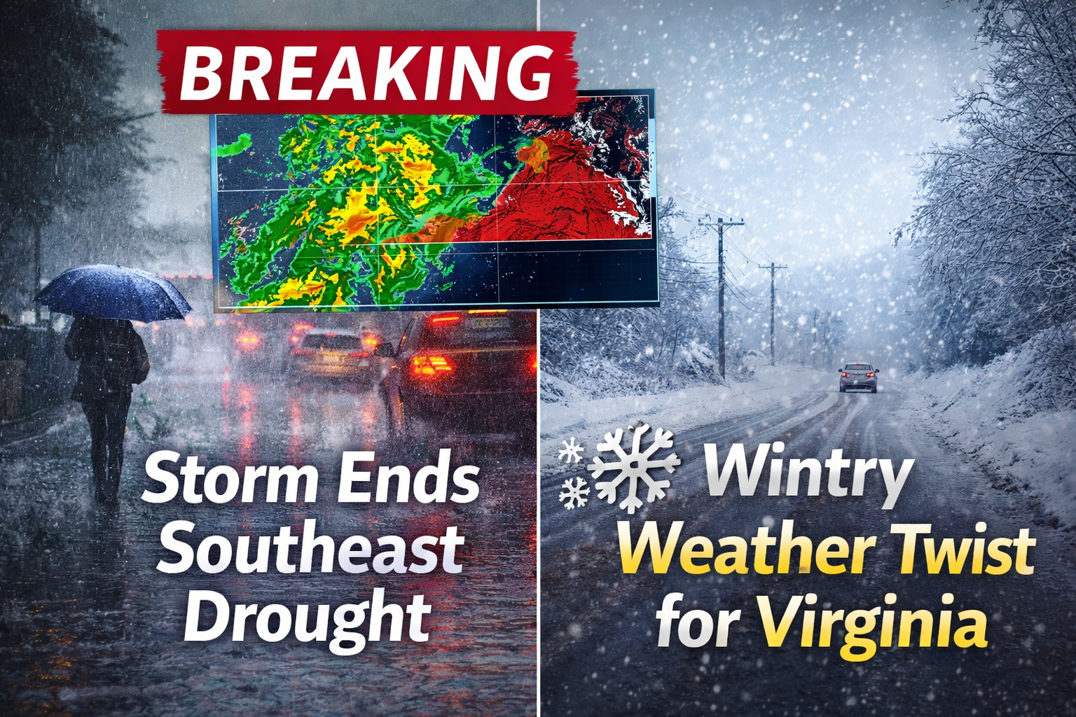
A powerful storm system moving across the Southeast United States this week is expected to deliver widespread, drought-relieving rainfall, offering welcome relief to parched communities. However, the system comes with a wintry edge for parts of Virginia, where colder air could turn rain into snow, sleet, or freezing rain in higher elevations.
Meteorologists say the storm will tap into deep moisture from the Gulf of Mexico, producing steady to heavy rainfall across much of the Southeast. At the same time, a pocket of lingering cold air over the Mid-Atlantic sets the stage for mixed winter weather in northern zones.
A Much-Needed Soaking for the Southeast
Large areas of the Southeast have experienced below-average rainfall in recent weeks, affecting soil moisture, agriculture, and local water supplies. According to forecasters, this storm has the potential to significantly improve short-term drought conditions.
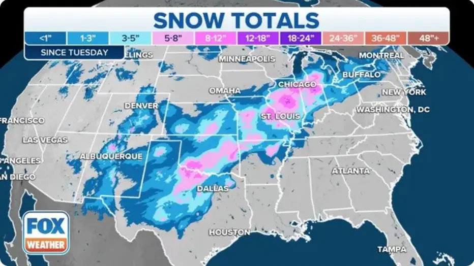
Rainfall totals of 1 to 3 inches are expected across parts of Georgia, the Carolinas, Alabama, and Tennessee, with locally higher amounts where rain bands stall. Because the storm is forecast to move slowly, some locations may see repeated rounds of rain over several days.
Experts from the National Oceanic and Atmospheric Administration (NOAA) note that cooler temperatures during the event will help limit evaporation, allowing more water to soak into the ground and benefit rivers and reservoirs rather than running off quickly.
Why This Storm Is Different
Unlike fast-moving systems that drop rain and exit quickly, this storm is expected to linger, increasing its overall impact. Moist air flowing northward from the Gulf will collide with cooler air to the north, creating a broad zone of precipitation stretching from the Deep South into the Mid-Atlantic.
This setup is ideal for drought relief but also raises concerns about localized flooding, particularly in low-lying or poor-drainage areas. While widespread river flooding is not currently expected, brief flooding of roads and urban areas is possible during heavier downpours.
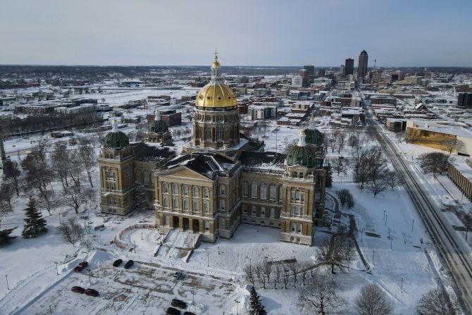
Virginia’s Wintry Complication
While much of the Southeast deals with rain, parts of Virginia may see a very different outcome.
Cold air near the surface—especially west of the Blue Ridge Mountains—could cause precipitation to fall as snow, sleet, or freezing rain, particularly during overnight and early-morning hours.
Forecasters at the National Weather Service say even small temperature changes will determine whether areas see cold rain or slippery winter weather.
Areas Most at Risk in Virginia
-
Western and southwestern counties
-
Higher elevations in the Appalachians
-
Valley locations prone to cold air trapping
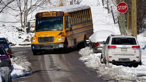
Even light ice accumulation could lead to hazardous travel, especially on bridges, overpasses, and untreated roads.
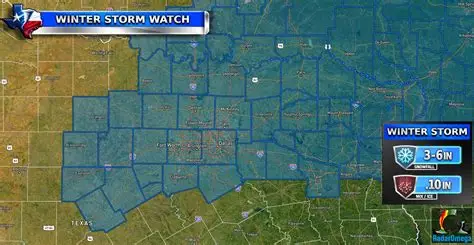
Forecast Snapshot
| Region | Expected Conditions | Primary Impact |
|---|---|---|
| Deep Southeast | Steady to heavy rain | Drought relief |
| Carolinas & Georgia | Rain, occasional downpours | Localized flooding |
| Central Virginia | Cold rain, brief mix | Slick roads |
| Western Virginia | Snow/sleet/freezing rain | Travel disruptions |
Travel and Safety Concerns
Drivers in Virginia’s colder regions should be prepared for rapidly changing road conditions. Temperatures hovering near freezing can cause rain to freeze on contact, creating black ice that is difficult to see.
Safety officials advise:
-
Reducing speed on wet or icy roads
-
Allowing extra travel time
-
Using headlights during heavy rain
-
Avoiding flooded roadways
Air travel may also experience minor delays at regional airports if wintry precipitation coincides with peak travel periods.
What This Means for Drought Recovery
While one storm alone will not erase long-term drought concerns, hydrologists say this system could provide a meaningful short-term boost to soil moisture and streamflow across the Southeast.
Water managers stress that sustained recovery depends on multiple rain events over time, but this storm represents a positive step—especially for agriculture heading into the growing season.
Could the Wintry Weather Expand?
Forecast confidence is high regarding widespread rainfall, but winter weather boundaries are less certain. A shift of just a few degrees could expand or shrink snow and ice zones in Virginia.
Residents are encouraged to stay updated through official forecasts from the National Weather Service and local emergency management agencies.
What Happens After the Storm?
Behind the system, cooler and drier air is expected to move in, improving travel conditions by the weekend. Any snow or ice accumulation in Virginia should gradually melt as daytime temperatures rebound, though shaded and higher-elevation roads may remain slick longer.
Meteorologists are also monitoring another potential system later next week, though details remain uncertain.
Why This Storm Matters
This event highlights the contrasting weather extremes often seen during seasonal transitions—drought-ending rain in one region and winter hazards in another.
For much of the Southeast, the rain will be a welcome sight. For parts of Virginia, caution will be needed as winter briefly makes a return.


Leave a Comment